


Known as Wy’east to the Multnomah Tribe, this Cascadian stratovolcano was first formed in a series of eruptions between 500,000 and 700,000 years ago, once reaching a height of 12,000 feet. Cycles of dormancy and erosion dominated until further eruptive periods 1500 and 800 years ago. Major activity between the 1780s and the 1830s sent massive lahars down the Sandy River depositing the iconic Crater Rock. Multnomah legend describes a great battle between Wy’east and Klickitat over the beautiful Loowit. The battle became so fierce that the Great Spirit transformed the three characters into mountains.


The Holy Mountain lines ‘em up and knocks ‘em back, featuring classic summertime crowd-pleasers and deep cuts alike: Still Creek Road, Trillium Lake, Dry Fir Trail, Upper Barlow, East Leg, West Leg, Timberline Lodge, Pioneer Bridle and more! As per the usual routine, The Holy Mountain is only as hard as you want to make it. We’ve broken the experience into Extra Light, Standard, Endurance and Endurance Plus variations to provide a broad palette of options, be it a pocketbeer chillride, an ultra-endurance effort or something in the middle. Oh, did someone say mid-ride pizza? Yep, there is even mid-ride pizza.


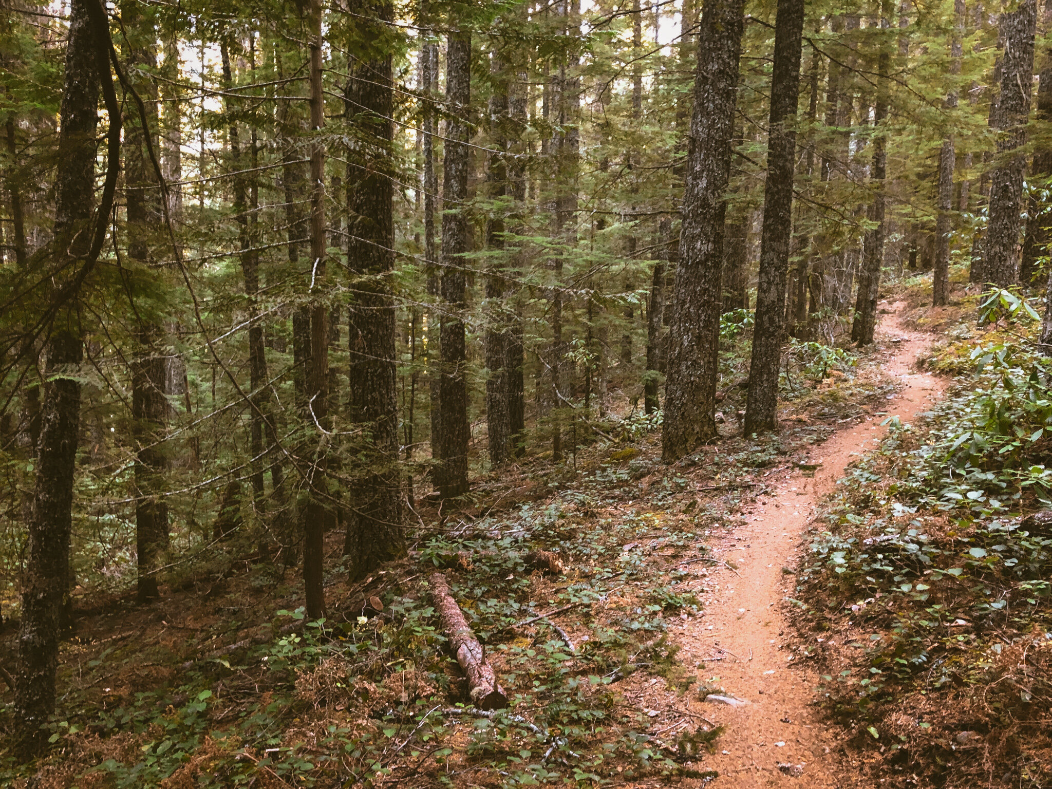
While the usual disclaimers still apply, it is important to set the proper expectations for the terrain up here and emphasize that this is much more cross-country mountain bike terrain than a ‘gravel’ ride. We prefer the term adventure riding or ATB, all-terrain bikes, capable of a whole spectrum of conditions - pavement, forest roads, dirt, sand, mud, rocks, singletrack, hike-a-bike and sometimes gravel. ATBs (650x2.1 with MTB gearing range) are going to do much better than standard ‘gravel’ setups (700x42 w/ road-oriented gearing) on this particular ride. Now that I think about it, this holds true for just about all of our routes. Pay close attention to the tire recommendations and choose route variations appropriate to your gear.
EXTRA LIGHT
For the sake of mileage, we’ve started the Extra Light at the Tollgate day use area. Other than the starting point, the lower Pioneer Bridle-Still Creek line will be the same across all of the route options. That said, do not come into this expecting a ‘gravel’ ride. Even the Extra Light edition is fully multi-disciplinary, leaning heavily into mountain bike territory. A hardtail would not be out of the question.
This version gains elevation gently along lower Pioneer Bridle and Still Creek trails to access Trillium Lake via Still Creek Road, one of the most classic climbs of Mt Hood’s west side. Water refill is noted in the Trillium day use area. Crossing 26, the route keeps to unpaved backroads as East Leg climbs to intersect the West Leg service road. The Crosstown trail keeps riders north of Government Camp before jumping onto Glacier View Road (be sure to check out the secret skatepark) en route to upper Pioneer Bridle Trail. If you haven’t ridden Pioneer Bridle before, be sure to keep on your toes and walk any sections you are not comfortable with, as it is loaded with steep, rocky technical singletrack. This version opts for the escape hatch at Kiwanis Camp Road to bypass some of the rougher segments of Pioneer Bridle, rejoining the trail across 26 for a relatively straight shot to the finish.
29.1 MILES
3412 FEET
SURFACE: 60% UNPAVED/DIRT/FOREST ROAD // 20% PAVED // 20% singletrack
TIRES: 40C PLUS
BIKE: GRAVEL/ADVENTURE/hardtail
FULL RIDE W GPS ROUTE
standard
This variation features most of the hits without getting too rowdy. Kicking off with the fabulous Road 19/Pioneer Bridle/Still Creek sequence, things start to get a little spicy after Trillium Lake with just a taste of the Barlow Road. From Government Camp, the Standard climbs Camp Creek to West Leg on up beneath the chairlifts all the way to Timberline Lodge. Be sure to hit the back patio for a cold drink and some mountain views. The Standard descends the relatively tame main Timberline Highway back down to Government Camp before diving into the full 12-mile singletrack descent along Pioneer Bridle.


46.7MILES
5557 FEET
SURFACE: 60% UNPAVED/DIRT/FOREST ROAD // 30% PAVED // 10% singletrack
TIRES: 40C PLUS
BIKE: GRAVEL/CX/ADVENTURE/hardtail
FULL RIDE W GPS ROUTE
endurance
Here’s where things start to get a bit spicy. Envision the same front end as the Standard, now kick it up a notch by climbing Kinzel Lake Road to hit the highly underrated Dry Fir Trail. Be sure to top off your water at the Trillium day use area or Still Creek campground because the West Leg climb hasn’t gotten any easier. Perhaps a beer and a snack on the patio of Timberline Lodge? Pro-Tip: the Ram’s Head bar upstairs will have no wait. You simply belly up, grab a hazy and head back down to the patio. The Endurance will be the only variation to descend the Timberline to Town trail. A word of caution re. T2T - it is a dry, dusty, sandy, rocky, rutty and loose mountain bike trail that gets a LOT of shuttle traffic. While it is certainly rideable on rigid drop bar bikes, it will take a toll. The combined 15 mile trail descent of T2T, Crosstown and Pioneer Bridle is a harrowing thrillride that will burn through whatever matches you’ve got left, so pace yourselves.

54.1 MILES
6512 FEET
SURFACE: 50% UNPAVED/DIRT/FOREST ROAD // 20% PAVED // 30% singletrack
TIRES: 2” PLUS
BIKE: adventure/hardtail
FULL RIDE W GPS ROUTE
endurance plus
The Endurance Plus edition takes a condensed tour of the Wy’east zone, opting to ride out and back from town via Marmot, Shipley and Little Switzerland. This version sidesteps the climb to Timberline Lodge for the obvious logistical reasons, but pizza, snacks and coffee are available in Government Camp, Brightwood and Sandy along the way.


120.5 MILES
9360 FEET
SURFACE: 15% UNPAVED/DIRT/FOREST ROAD // 80% PAVED // 5% singletrack
TIRES: 40c PLUS
BIKE: GRAVEL/adventure
FULL RIDE W GPS ROUTE
sandy river gorge
This is the standalone transport stage out to the ride, a solid road effort in its own right. If you’re feelin’ roadie but don’t want to fuss with all the gravel and trail stuff, this might just be your jam.
80 MILES
4971 FEET
SURFACE: 100% paved
TIRES: 28c PLUS
BIKE: road/GRAVEL/adventure
FULL RIDE W GPS ROUTE
We would highly encourage riders to self-organize, make these rides their own and share the experience via the Ride w/ GPS Ride Reports platform, the OMTM Google Group and Instagram (#OMTMrotm)
* As with any ride, these are 100% open courses on public roads, open to cars and automobile traffic. Riders agree to RIDE AT THEIR OWN RISK. You and ONLY you will be responsible for navigating hazards as they relate to traffic, roads, general safety and weather conditions. Riders are absolutely under their own responsibility to ride, navigate and conduct themselves safely and appropriate to conditions as they exist in the field.
* Riders understand that as a condition of use of any provided GPS data, riders agree to assume all risks and agree to release and hold harmless everyone associated with this organization, including sponsors and/or contributors.

Terms of Use: As with each adventure route guide published on OMTM.CC, should you choose to cycle this route, do so at your own risk. Prior to setting out check current local weather, conditions, and land/road closures. While riding, obey all public and private land use restrictions and rules, carry proper safety and navigational equipment, and of course, follow the #leavenotrace guidelines. The information found herein is simply a planning resource to be used as a point of inspiration in conjunction with your own due-diligence. In spite of the fact that this route, associated GPS track (GPX and maps), and all route guidelines were prepared under diligent research by the specified contributor and/or contributors, the accuracy of such and judgement of the author is not guaranteed. OMTM.CC, its partners, associates, and contributors are in no way liable for personal injury, damage to personal property, or any other such situation that might happen to individual riders cycling or following this route.