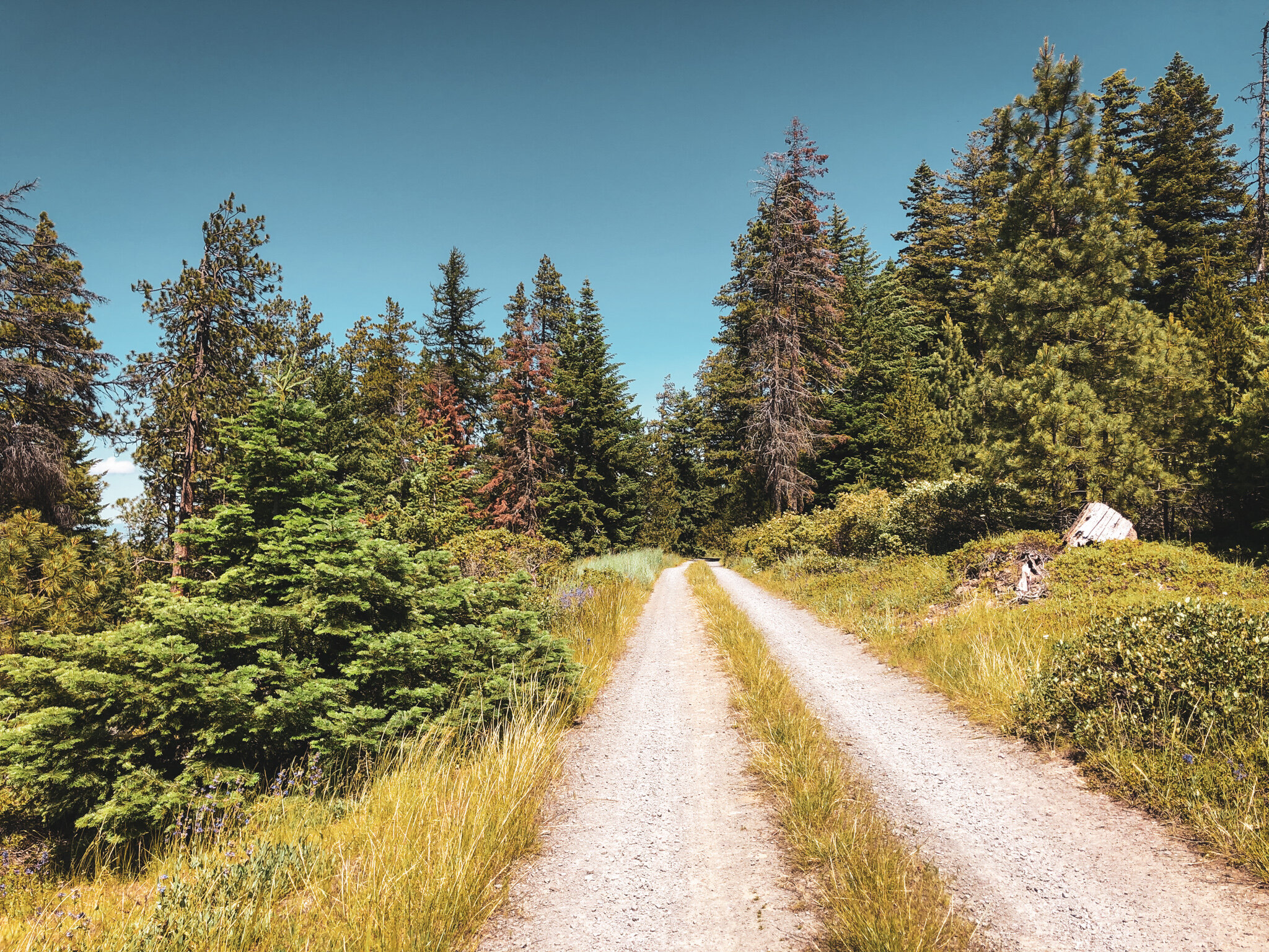
think of it as an elaboration on the japanese hollow idea; an expanded companion piece for those looking to push a bit deeper. traversing luxuriant gravel, plush NFD roads, opulent tarmac and ample singletrack, pleasant ridge reverses the japanese hollow orientation, skipping the hollow itself in favor of a beeline straight into the high country.
There is a special grade of magic to the highland plateaus above the Dalles. Monolithic volcanoes dominate a skyline of rolling golden wheat punctuated by craggy oak and ponderosa pine. It is semi-arid, but not quite desert, elevated but not exactly mountainous. To call it hill country would be somewhere in the right direction. This is the Cascade rain-shadow in all of its finery, producing a rich sepia-toned palette with gradients ranging from verdant subalpine forest to amber-hued grassland and sunbaked blackrock canyons further east.
It is no secret that the riding here is stellar. The roads are long and winding with virtually no traffic. The angles are gentle more often than they’re not. The scenery seems to stretch to infinity. Any and all of these may explain the popularity of the Japanese Hollow loop, which we sought to reimagine in this case by flipping it in reverse.
Turns out it may actually be better that way.
But what if it were bigger too? With a good bit of backcountry singletrack in the middle?
Okay, now this sounds promising.
stage 1: the climb
Prior to this idea, I had only ever known Pleasant Ridge as a descent, so was delighted to confirm the prevailing conditions do indeed create a predictable tailwind up through the orchards, easing into the highlands. It is also a joy to discover the ridge above Fivemile Creek is known as The Hogback. In the clockwise orientation the landscape reveals itself as curiously familiar but somehow out of sequence. Known intersections appear and recede. Japanese Hollow and Walston Grade tick by, phantom echoes of former rides. The terrain rolls and climbs, grows wilder and more scrappy with each mile. Undulating orchards and open range give way to hardy, gnarled oaks and tight, rocky drainages, the vegetation closing in with elevation.
Crossing the national forest boundary, riders will recognize the intersection of Rail Hollow and Fivemile from the standard Japanese Hollow loop, but our destination here is higher and farther west into the 44 Trails. This particular day is mild, not overly hot, but water is nonetheless getting a bit low after 2700 cumulative feet, mostly in full sun. It is worth noting that any seasonally-running water up to this point in the route will have dried up by June. Eightmile Creek will be the first predictable water source, so plan accordingly. We’d recommend a third bottle if the day is going to be above 80 degrees.
The climb takes on a distinct tonal shift beyond Fivemile, transitioning to the dense evergreen and wildflower meadows so characteristic of the high Cascades. The shade of Lower Eightmile campground is a welcome respite just shy of mile 30, as is the cool gurgle of Eightmile Creek and fresh water! Our connector here is the Eightmile ‘Interpretive Trail’, a series of demarcated forest paths and wooden bridges running between Lower Eightmile Crossing and Eightmile campgrounds.
stage 2: The Trails
Our route picks up Eightmile Trail (#496) out of the north end of the campground loop, crossing lower 4430. There will be a trail fork immediately after crossing the pavement, for our purposes we suggest the ‘EASIEST’ of the two options, which continues straight, climbing through the piney duff along Eightmile Creek to the staging area of Knebal Springs and Bottle Prairie and the heart of the 44 Trails system*. Be aware that all of these trails are busy and dual-directional, so keep an eye out for fast-moving mountain bikes and dogs, though uphill travel will technically always have the right of way.
*The 44 Trails are built, managed + maintained by the 44 Trails Association. They put in a generous amount of work each season to keep these regional treasures open and running. Please consider donating and volunteering for trailwork events if the system is in your frequent-ride lineup.
Knebal Springs (#474) climbs gently through several open meadows before flattening out around mile 32. This is where the fun begins. A rider would be a wise to secure loose items before diving into the descent which can be a tad spicy in spots. Though just about all of the 44 system will be considered classic XC terrain, there are still quite a few rocks, roots, ruts and natural features to keep drop-bar riders on their toes. Knebal Springs hops onto a small forest road between miles 33.4-33.6 before diving back in hot and heavy en route to Bottle Prairie Trail (#455) which intersects at mile 35.4. This section of Bottle Prairie will have a few dramatic-but-rideable creek crossings*, eventually climbing out to 4430-140. At this junction riders have a choice: if one still hasn’t had enough, there is certainly more Bottle Prairie, which can be looped to include upper Eightmile for a longer trail day or cut straight out to 4430 via the short doubletrack connector. Truth be told, we found the smooth gravel quite appealing at this stage in the ride.
*If temps are above 80, we’d highly recommend topping off water bottles again at one of these water crossings, as it will be the last filterable water along the route and it is still a long way back to the Dalles.
stage 3: the Descent
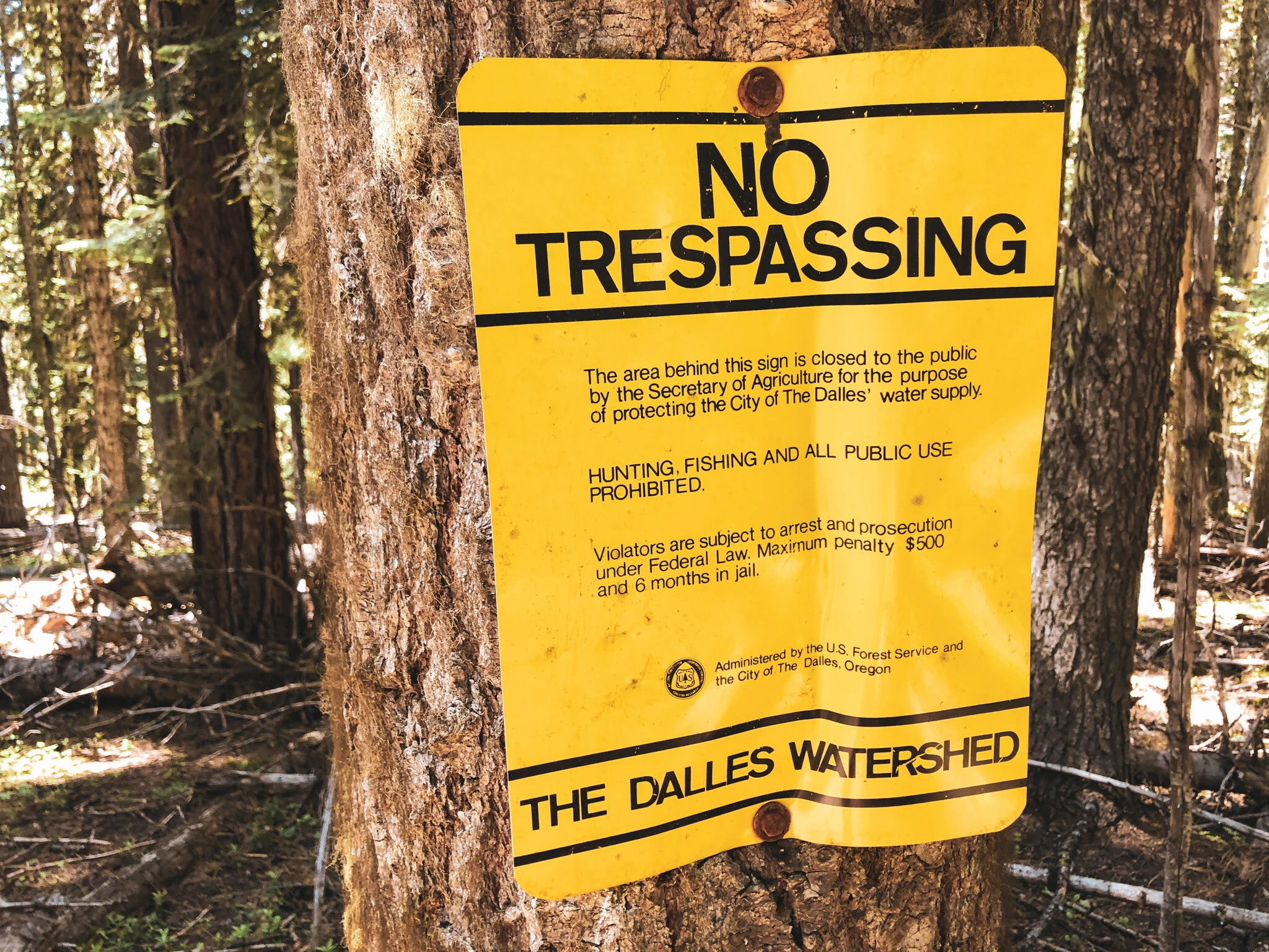
You were promised 30 miles of descending and this one delivers. I mean, you’ve already paid for it up front (climbing 5000 feet in one shot) so may as well enjoy it. The creamy tarmac of 4430 angles sharply to the west for a quick but powerful look at Mt. Hood before reorienting back toward The Dalles, skirting the edge of the watershed boundary. Upper 1720 drops fast and furious through wide, straight Strade Bianche gravel, the landscape gradually returning to upper Skyline’s familiar array of grass, oak and pine.
Curiously enough on this particular day I was graced with second significant tailwind running the length of the descent. I suspect there may be a pattern here, but would need to revisit to test this theory. In any case, the national forest boundary through upper Skyline moves pretty quick, blazing past the lonesome iconic barn, pounding the dusty straightaways, charging down through the lower Skyline switchbacks before returning to tarmac around mile 56. The remainder rolls by like a blurry victory lap, winding down through expansive cherry orchards and ultimately dropping into the south end of town.
Only thing left to do now is the hard part: figure out where to get pizza.
PLEASANT RIDGE V1: SKYLINE VARIATION
61.8 miles
6327 FEET
ROUTE FORMAT: loop
SURFACE: 75% UNPAVED, 10% PAVED, 15% SINGLETRACK
TIRES: MINIMUM OF 45C. 2” recommended. TUBELESS HIGHLY RECOMMENDED
BIKE: GRAVEL/adventure/hardtail
Water Filter: required
services: no
FULL RIDE WITH GPS ROUTE + GPX FILE
PLEASANT RIDGE V2: KETCHUM VARIATION
This version deviates from V1 at mile 31.5, picking up the Super Connector trail for a hot minute over to the spectacular Surveyors Ridge north to 1711 via John’s Mill, utilizing the wonderful Ketchum Road > Chenoweth descent progression into the north end of the Dalles. This version is highly recommended if you’re looking for a bigger, more trail-intensive day over a wider spectrum of terrain.
** One thing to keep in mind here is that this version is going to ride harder and take longer than you expect. Start early! Trail miles burn a lot of matches and are slow-going, so think of the mileage and elevation more in MTB terms than ‘gravel’. Also, be mindful of high temps out here. Because of the full exposure on the front + back ends, and limited water access I would not recommend this version if it is over 85 degrees and full sun. If you find yourself cooked by Knebel Springs/Super Connector, 1720 is a fairly direct bailout back to the Dalles if you need it.
66.6 miles
7326 FEET
ROUTE FORMAT: loop
SURFACE: 75% UNPAVED, 10% PAVED, 15% SINGLETRACK
TIRES: MINIMUM OF 45C. 2” recommended. TUBELESS HIGHLY RECOMMENDED
BIKE: GRAVEL/adventure/hardtail
Water Filter: required
services: no
FULL RIDE WITH GPS ROUTE + GPX FILE
Terms of Use: As with each adventure route guide published on OMTM.CC, should you choose to cycle this route, you do so at your own risk.
1. The www.omtm.cc site and @omtm.cc Instagram account (collectively, the “Site”) are owned and operated by Our Mother the Mountain LLC (“OMTM”). The Site is primarily a creative project presented by OMTM and other contributors, but it is increasingly being used as a resource for other cyclists seeking challenging and compelling cycling routes. As such, we want to be clear about what the Site is and is not.
2. It is a creative project and may be used as (a) one resource (of many) for potential routes and (b) a source of inspiration for cyclists.
3. It is not designed to be a replacement for your own diligence and judgment. You should engage in significant additional diligence, and use your judgment regarding the route and your abilities, before embarking on any route described on the Site. You are solely responsible for obeying all public and private land-use restrictions and rules, carrying proper safety and navigational equipment, and following the #leavenotrace guidelines.
4. The information on the Site is for general information purposes only. While we made reasonable efforts to ensure the information was up-to-date and correct when it was posted, the information may be incorrect, incomplete, or outdated. We make no representations or warranties about the completeness, timeliness, accuracy, reliability, or quality of the information. Nor are we able to promise anything regarding weather, route conditions, or route availability. Everything is provided on an “AS IS” and “AS AVAILABLE” basis, and any reliance you place on information available through the Site is at your own risk.
5. Without limiting the foregoing, OMTM is not responsible for GPS content provided by third-party contributors or third-party sites or platforms (such as Discord, Google Groups, and Strava Club) that may be linked or referenced on the Site: we do not own or operate such sites or platforms and are therefore unable to vouch for any content on those sites or platforms.
6. Cycling is an inherently dangerous activity, and we are unable to control the actions of third parties (including without limitation other cyclists or users of the routes). As such, the Site is not designed (or able) to reduce or eliminate your risk of injury, death, or property damage. We assume no responsibility for injury, death, or property damage.
7. You and your heirs, personal representatives, and assigns, agree to indemnify, defend, and hold OMTM, its owner(s), and all OMTM contributors harmless from and against any claims arising out of or related to your use of the Site.


