


This rugged and spectacular traversal of Mt. Hood's southeast quadrant offers a rewarding cross-section of challenging terrain from the shady loam of Barlow Road to the high alpine ridges of Bennett Pass. merging the disciplines of road, gravel and mountain riding, this route includes rocky fire roads, primitive jeep trails, river crossings, hardpacked gravel, butter-smooth tarmac and everything in between.
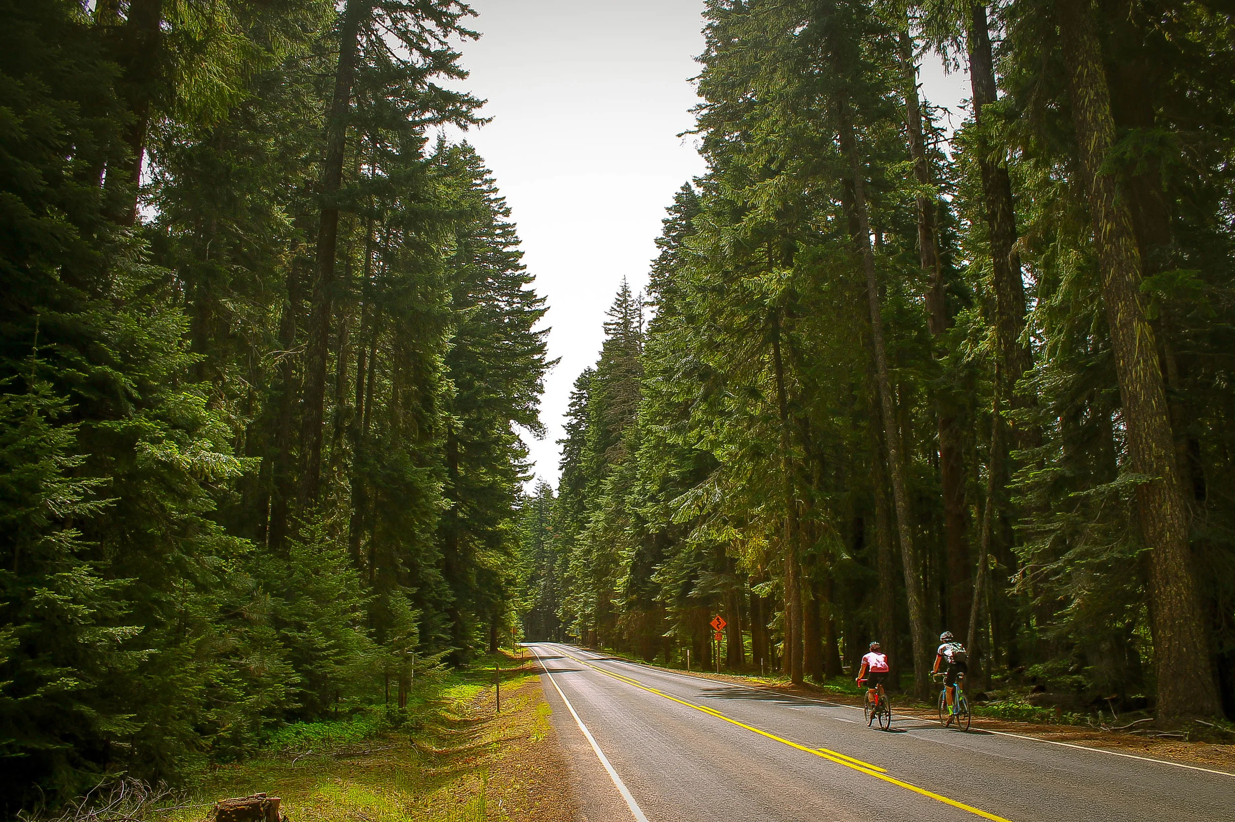
This rough-and-ready gem sets off from Barlow Pass, heading southeast toward Keeps Mill on the historic Barlow Road/NF3530 which traces the original Oregon Trail wagon road connecting the Dalles with the Willamette Valley. While many of the forest roads in this area are surprisingly well paved, this route was specifically chosen for its particular balance of raw terrain and powerful landscapes.

As with most of the riding around Mt. Hood, the angles tend to be steep and deep. Barlow is no exception, diving right into an exciting 4.5 mile descent. The road surface alternates between loose chunky rocks, roots, ruts and soft pine-needled dirt before gradually leveling out into more arid, sandy doubletrack near Barlow Creek prior to intersecting NF43/Cedar Burn Road.
Head right onto the pavement of Cedar Burn road for just over two miles, then follow the second gravel road to the left onto NF2130/Frog Creek Road. This rolls a bit, descending hardpacked gravel before returning to pavement around mile 11.5, crossing Frog Creek and continuing on to OR-216 Wapinitia Hwy. Follow 216 east for a mile and a half before turning left onto NF2120/Keeps Mill Road. Follow Keeps Mill Road until the pavement ends around mile 19.6. This is where the shit gets real.


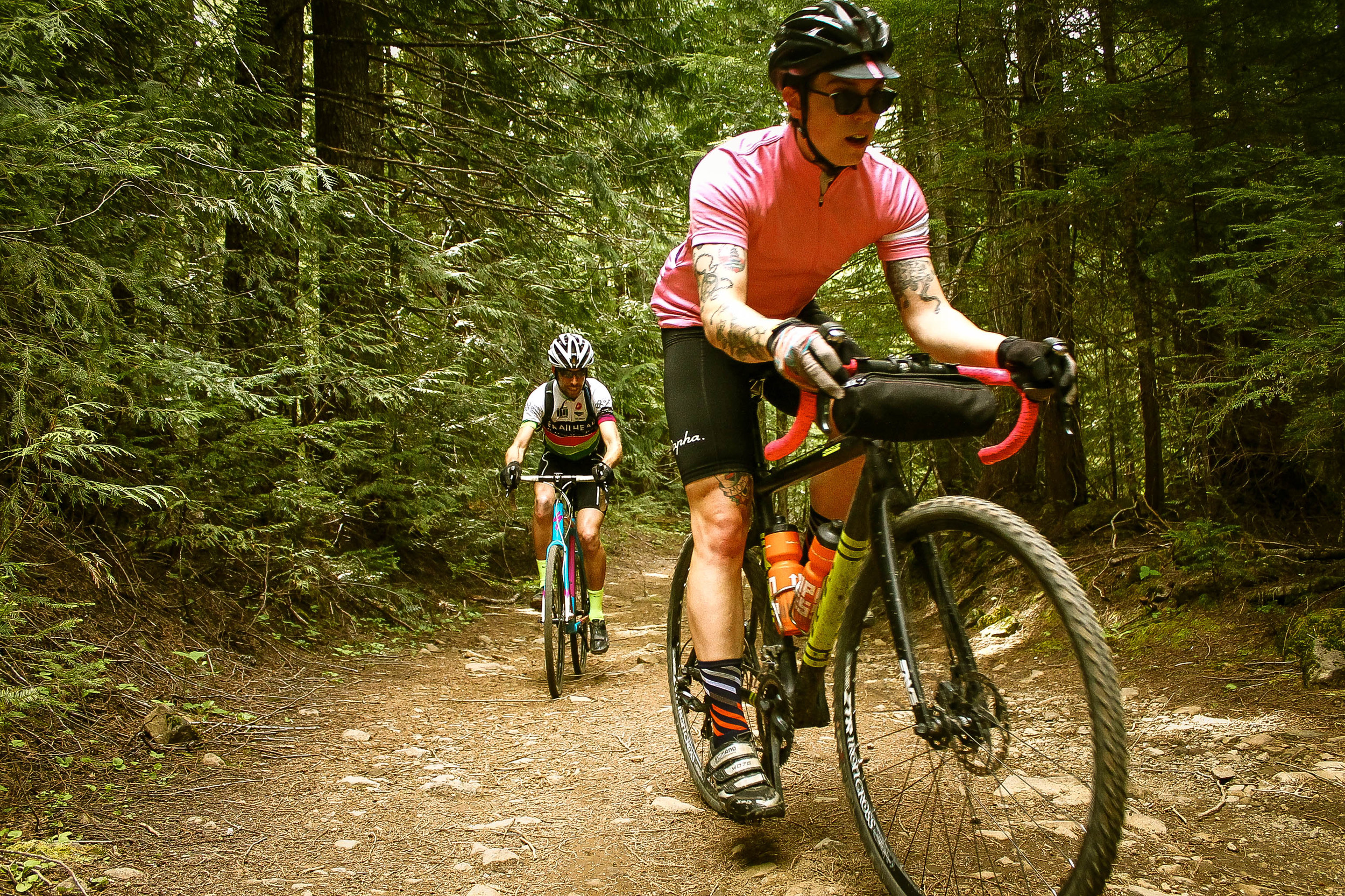
Keeps Mill Road becomes a rough, chunky, loose rocky Jeep trail for the next two miles descending sharply around a series of switchbacks into the Keeps Mill camping area cozily nestled at the convergence of the White River and Clear Creek. In warmer weather this is a prime opportunity to cool off w/ a dip in one of the most righteous swimming holes around: Clear Creek! Soak it in, relax a little. This is the lowest point in the route; a symbolic halfway from which it's (literally) all uphill.
* At this point there are two ways to cross the White River: wading or log-crossing. Each have their upside and downside. The river cools you off but the log keeps you dry. The log is a precariously-situated balancing act but the river has a fast-moving, powerful current and a bed of slippery rocks. In the drier late summer/early fall months when the river is low, wading is the obvious choice. In the spring when the river is swollen, the log might be a more reasonable option. Both are available. Use your best judgement.


In the lower portion of the camping area, the roadbed angles downward into the river creating a reasonable crossing point. Once on the north side of the river Keeps Mill Road picks back up to the left, in a northwesterly direction and starts climbing. This area being rather remote, you will likely have a couple of fallen trees to navigate. A sharp hairpin turn to the northeast sets the road onto a steep, rocky upward trajectory, climbing out of the valley through arid meadows filled with wildflowers. Don't let the 12% grade deter you, this is FUN! The incline mellows around mile 21.8 upon crossing the cattle guard onto the smooth doubletrack of NF4885 and settles into a gentle climb for the next few miles to NF48.


Jog right onto NF48 for about a mile, then head left onto NF4880 and keep going up. At mile 27.7 turn left onto NF4881, returning to gravel. This is where the real fun begins.
Continue climbing NF4881 to the intersection w/ NF4891. Turn right toward Bonney Meadows and keep climbing. This segment is a great opportunity to trot out those badass MTB handling skills with five miles of loose, rocky climbing over fairly rough rutted-out dirt roads to Bonney Meadows.
Just past Bonney Meadows, mile 35 marks the highest point along the route as well as the point at which the road thankfully starts pointing downward again. Just past the open section of boulder-strewn scree, bear left onto NF3550/Bennett Pass Road, crossing the Gunsight Ridge singletrack trail and begin descending the ridgeline, which alternates between cool shady forest and exposed rocky vistas.
Around mile 37, NF3550 emerges from the treeline into a dramatic cliffside panorama of epic scale. This is known as the 'terrible traverse' and provides spectacular 180+ degree views of Mt. Hood to the west, the entire valley to the north and east. There will be another jaw-dropping vantage point in the next 1/4 mile with stunning views of Mt. Jefferson to the south.


Continue rolling along the ridge in a gradual descent as the bumps fade away into much smoother, more maintained gravel, bearing right at the only significant intersection before rolling down into the parking area for the Bennett Pass Sno-Park. Cross the overpass and take a left, heading southwest on 35. Relax and savor the smooth pavement all the way back to the Barlow Pass and think about that cold beer waiting for you.
* A note about filtering water. While you will need to be prepared to filter/treat water for refill along the way, do not attempt to refill from the White River at Keeps Mill as it will be much too silty for drinking.
43.6 MILES
4565 FEET
ROUTE FORMAT: LOOP
SURFACE: 60% primitive road (jeep trail w/ loose + embedded rock surface), 20% smooth, fast pea gravel, 20% paved
TIRES: minimum of 35c. 40c-2"MTB. heavy duty box or file tread recommended
BIKE: CYCLOCROSS/GRAVEL/rigid 29er
water/services: no services. water filter required. river/creek refill points noted
FULL RIDE WITH GPS ROUTE + GPX FILE
Terms of Use: As with each adventure route guide published on OMTM.CC, should you choose to cycle this route, do so at your own risk. Prior to setting out check current local weather, conditions, and land/road closures. While riding, obey all public and private land use restrictions and rules, carry proper safety and navigational equipment, and of course, follow the #leavenotrace guidelines. The information found herein is simply a planning resource to be used as a point of inspiration in conjunction with your own due-diligence. In spite of the fact that this route, associated GPS track (GPX and maps), and all route guidelines were prepared under diligent research by the specified contributor and/or contributors, the accuracy of such and judgement of the author is not guaranteed. OMTM.CC, its partners, associates, and contributors are in no way liable for personal injury, damage to personal property, or any other such situation that might happen to individual riders cycling or following this route.